Data
Open data. Use it however you like. Attribution is appreciated.
Everything plotted on the map is derived from Michael Paine's 1997 GEMFIND data. The files below cover the entire lineage — the original distribution, Michael's exported spreadsheets, the cleaned canonical JSON the map uses, and a changelog of every editorial decision made along the way.
The reference book
Every locality in the dataset that maps to the book carries a
myatt_page field. The book is:
Myatt, Bill (ed.). How and Where to Find Gemstones in Australia and New Zealand. Lansdowne Press, Sydney. Revised edition 1987, reprinted 1991. 486 pages. ISBN 0701816686.
Roughly two-thirds of the localities cite a page in Myatt — the remainder were added by Michael directly and don't appear in the book's index.
Canonical dataset (JSON)
Cleaned, validated, indexed. This is what the map loads. Schemas
are documented in the project repository's
2_pipeline/export.py.
| File | Contents | Size |
|---|---|---|
| gemstones.json | 34 records: id, name, family, hardness, SG, refractive index, colour, description, related, findings_count | 7.8 KB |
| localities.json | 316 records: id, name, state, postcode, modern lat/lon, original DMT x/y, Myatt page, geocoding confidence | 71 KB |
| findings.json | 634 records: gemstone_id × locality_id × comment | 50 KB |
| anchors.json | 10 records: reference cities (Darwin, Sydney, …) Michael used to anchor the DMT grid | 609 B |
Documentation
| CHANGES.md | Every editorial decision applied to Michael's original data, grouped by category (spelling, typo, row-drop, spillover, partition, dedupe, disambiguation, geocoding). | 2.9 KB |
| review_queue.csv | 29 localities flagged for human review: 11 not in GeoNames at all, 18 with low-confidence fuzzy matches that warrant a second look. | 3.2 KB |
Michael's original spreadsheets
Exactly as supplied — preserved as the inputs to the cleaning pipeline. Excel metadata still names Michael Paine as the author. The first three are exports from the dBase tables embedded in the original GEMFIND binary; the fourth is a postcode lookup added later (not part of GEMFIND proper).
| descriptions.xls | The gemstone reference table (GEMSTONE.TXT). |
35 KB |
| locations.xls | The findings join table (GEMLOC.TXT). |
76 KB |
| more_locations.xls | The towns table (GEMTOWN.TXT). |
57 KB |
| Gemfind Suburbs to Postcodes.xlsx | Australian postcode↔suburb lookup added separately (not part of original GEMFIND). | 3.2 MB |
The original 1997 distribution
For the historically curious. GEMZIP.EXE is a 1988-era
PKZIP self-extracting archive — it doesn't need a Windows machine
to open; modern unzip handles it. Inside you'll find
the Visual Basic 3 executable, the VB3 runtime DLL, the symbolic
map outline, and the original DAT files. Do not run the
.EXE directly — it's a 16-bit Windows installer that won't
execute on modern systems.
| GEMZIP.EXE | Michael's original 1997 self-extracting installer (v1.4). | 282 KB |
| README_transcript.md | Transcription of the 1997 README, plus implementer's notes about how findings inside the README shaped this port. | 11 KB |
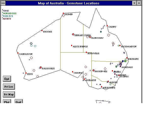
| GEM1.JPG | Original screenshot. | 37 KB |
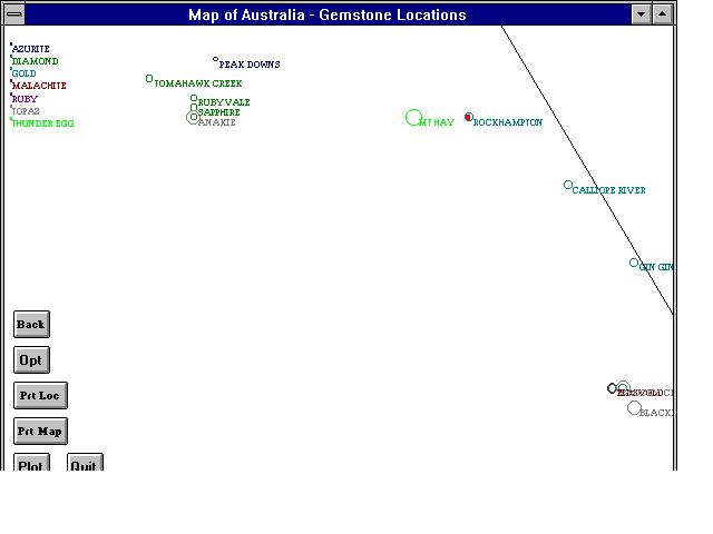
| GEM2.JPG | Original screenshot. | 23 KB |
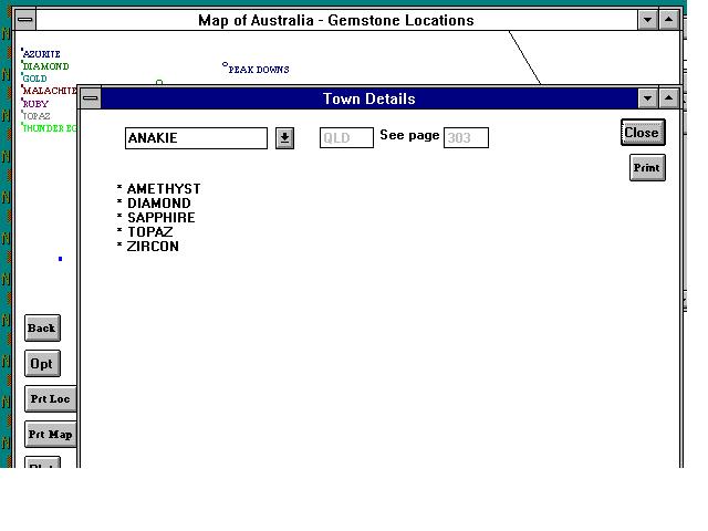
| GEM3.JPG | Original screenshot. | 32 KB |
Licence
Michael's 1997 GEMFIND was released as shareware. The data itself was compiled from public sources and is treated here as open. Modern geographic coordinates come from GeoNames and inherit the CC BY 4.0 licence — attribute GeoNames if you redistribute the coordinates. Modern basemap tiles served on this site come from OpenFreeMap and ultimately OpenStreetMap contributors.